Product Overview
Year - 1860
Author - n/a
Publisher/Engraver - n/a
Original Size - 11 x 17
Map Name - Crown Point Military Road - 8 sheet set
Academic Title - Crown Point Military Road - 8 sheet set
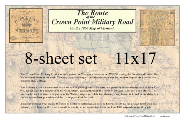
Comments - Click to view low-resoloution PDF preview of these printsThe Crown Point Military Road was built across the Vermont wilderness in 1759-1760 during the French and Indian War.
No map was made at the time. The most accurate map of this historic route may be the 1860 Map of the State of Vermont by H.F. Walling.
The Military Road is shown here as a dashed line passing across the state in a generally southeasterly direction from Orwell on the Lake to Springfield on the Connecticut, passing through the towns of Rutland, Cavendish and others. The line is a bit hard to discern in places as the Walling map is very detailed, showing every house and road in the state. On each sheet we have placed 2 solid dots to help you find the road.
This very detail is what makes this map so useful to historians, as one can find the general route on the ground today with careful analysis. However, the reader should be careful as we do not know how well the 1860 mapmakers did their job.
8 sheets total. They are packaged as loose sheets rolled together and SHIPPED IN A TUBE.
Printed on bond paper.
Click to view a large version of this print
General Information & Disclaimers -
- Most of our maps are reproductions of old maps. Due to the age of the original maps, many contain mild defects (ink markings, cracks, small holes, etc.)
- Map color: no map will look identical to what you see on your computer monitor. Please be aware that the shade will likely be a bit different than what you see.
- Note that prints smaller than the original size may be difficult to read, while the larger print sizes may appear fuzzy when viewed up close.
- Print sizes and margins may vary (especially for the more obscure reprints and town/village map excerpts.)
- Frames are NOT included - plan to purchase one AFTER receiving and measuring your print.
- We DO NOT accept returns, as our maps are printed on demand. We only offer replacements/refunds for shipping damage or mistakes on our part. Please review your selection carefully before purchase to ensure satisfaction with your order.
- Don't see the map or size you're looking for? Use our custom order form or email us for more complex requests. We also offer canvas prints!


