Product Overview
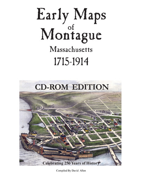
A collection of historical maps of Montague, Massachusetts. Maps range from the earliest colonial maps made before Montague was created, through the detailed land-ownership maps of the late 19th century.
Click to view a low-res PDF Preview of this booklet.
Size- 8" x 11"
Page Count- 88
Format- Softcover Book
State- Massachusetts
County- Franklin Co.
ISBN-
Click to view a low-res PDF Preview of this booklet.
Size- 8" x 11"
Page Count- 88
Format- Softcover Book
State- Massachusetts
County- Franklin Co.
ISBN-
General Information & Disclaimers -
- Most of our maps are reproductions of old maps. Due to the age of the original maps, many contain mild defects (ink markings, cracks, small holes, etc.)
- Map color: no map will look identical to what you see on your computer monitor. Please be aware that the shade will likely be a bit different than what you see.
- Note that prints smaller than the original size may be difficult to read, while the larger print sizes may appear fuzzy when viewed up close.
- Print sizes and margins may vary (especially for the more obscure reprints and town/village map excerpts.)
- Frames are NOT included - plan to purchase one AFTER receiving and measuring your print.
- We DO NOT accept returns, as our maps are printed on demand. We only offer replacements/refunds for shipping damage or mistakes on our part. Please review your selection carefully before purchase to ensure satisfaction with your order.
- Don't see the map or size you're looking for? Use our custom order form or email us for more complex requests. We also offer canvas prints!


