Manhattan 1894-1913 DVD & Prints
Free shipping in the continental US on all orders over $40
DVD - 1099 Maps
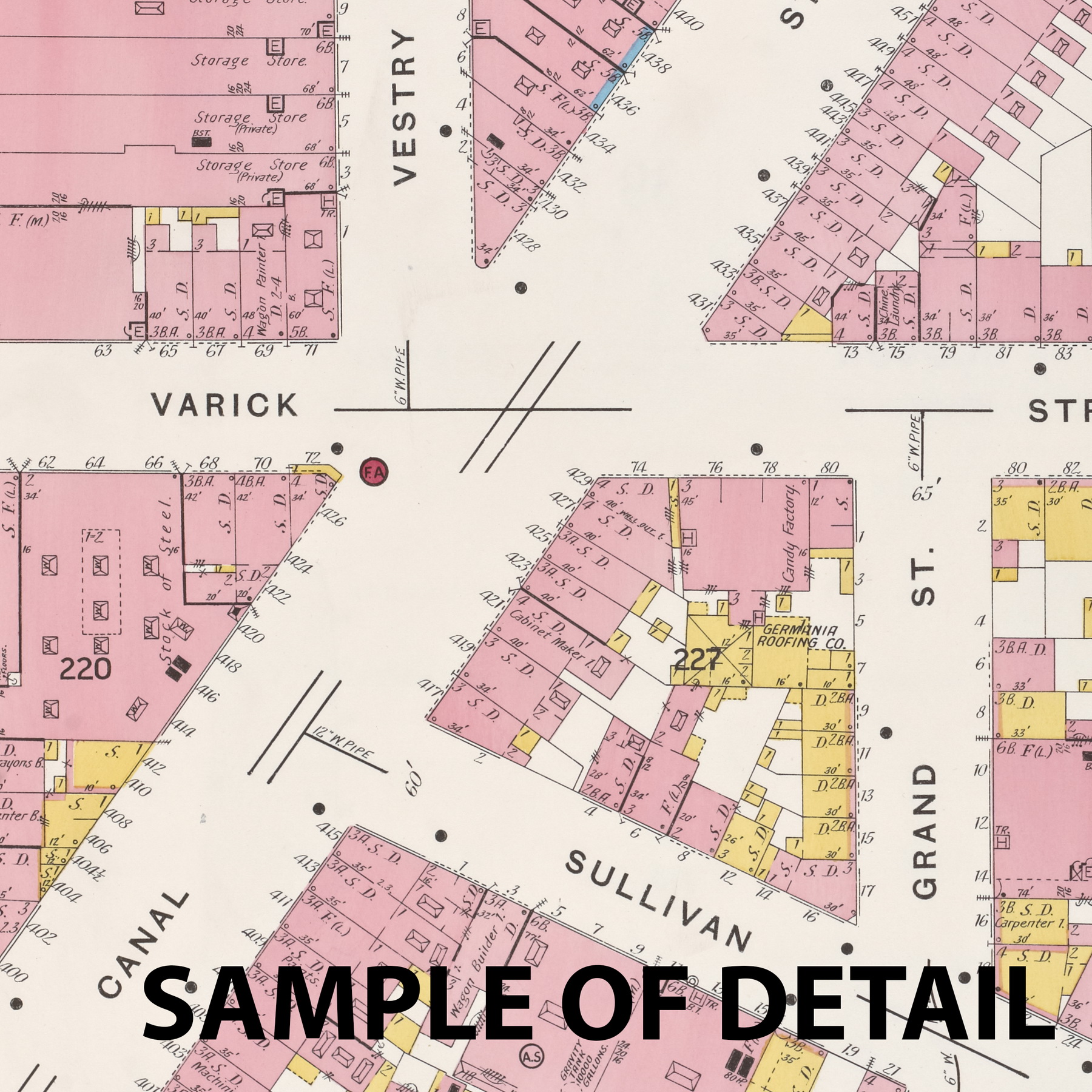
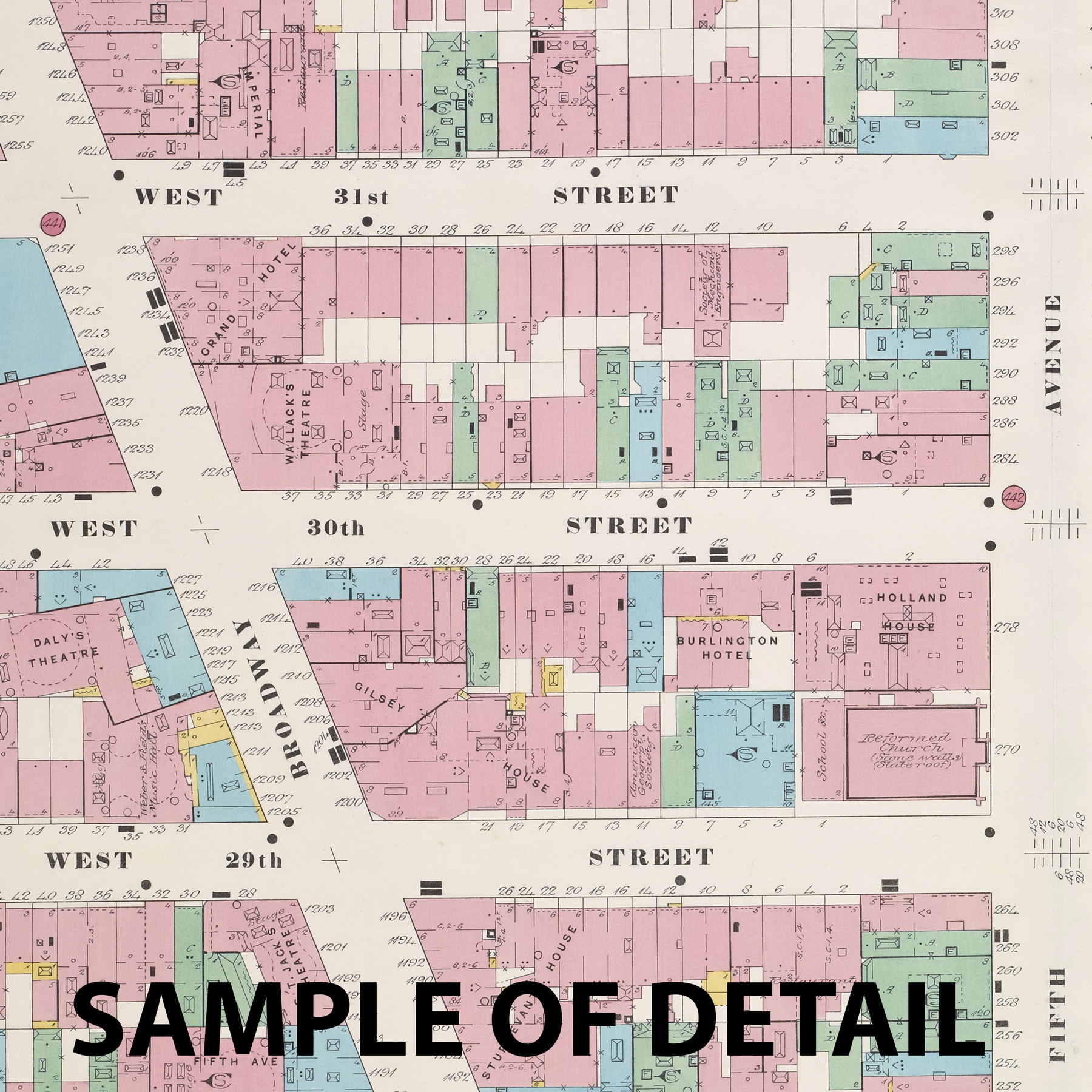
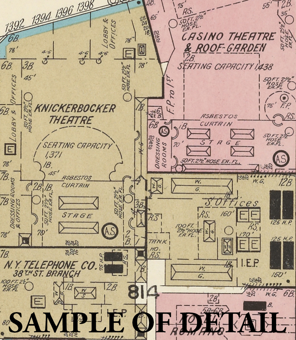
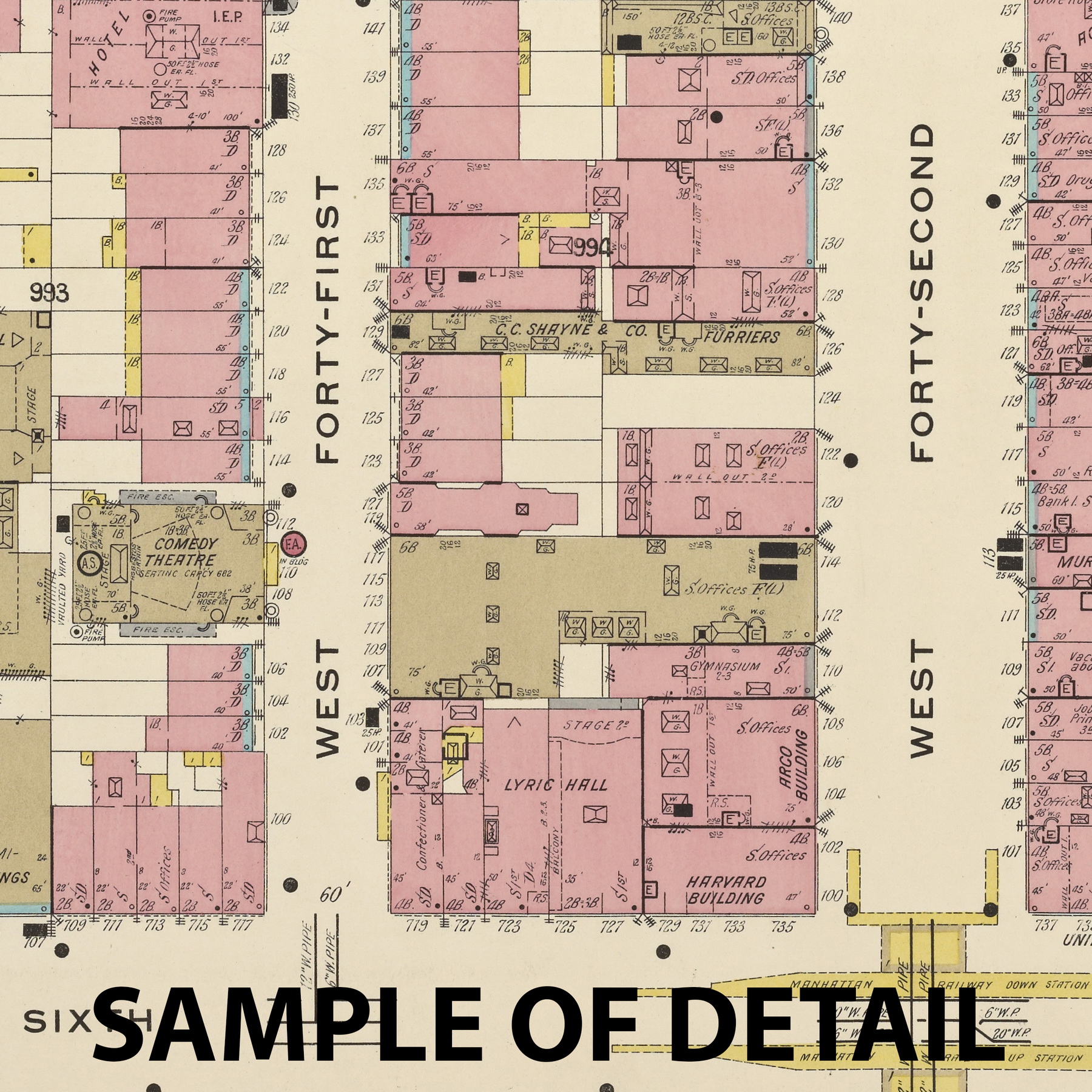
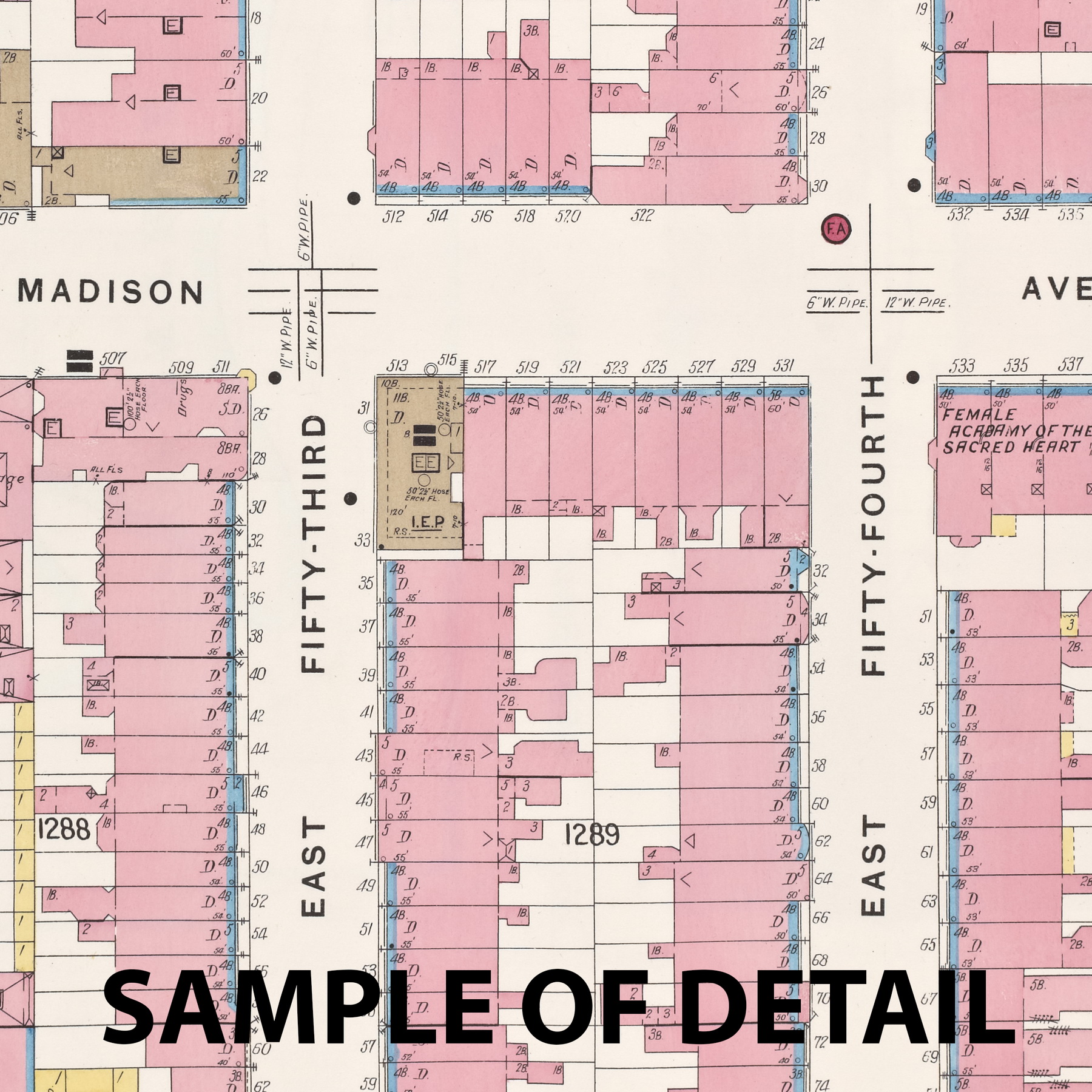
This DVD contains the circa 1894-1913 Fire Insurance Maps for the City of Manhattan, NY. We have acquired all 1099 maps from the Library of New York and arranged them here for your convenient viewing. The map images have been slightly “downsized” to fit onto one DVD, but all text is easily legible.
These maps are a valuable historical resource today as they show the building material (brick, wood, stone etc), location of nearby fire departments, and water lines in the streets. Commercial buildings are often labelled with their business use. The maps were created between 1894 and 1913 and cover most of the developed area of Manhattan at the time. The city was divided into 10 areas. Some of these areas were mapped more than once in different years. This DVD includes 23 area volumes in total.
Below we have posted all 79 maps from volume 1 as examples. They are also available for individual purchase. All of these maps, plus many more, are included on the DVD.
You can click the thumbnails below to view sample images of parts of these maps.

