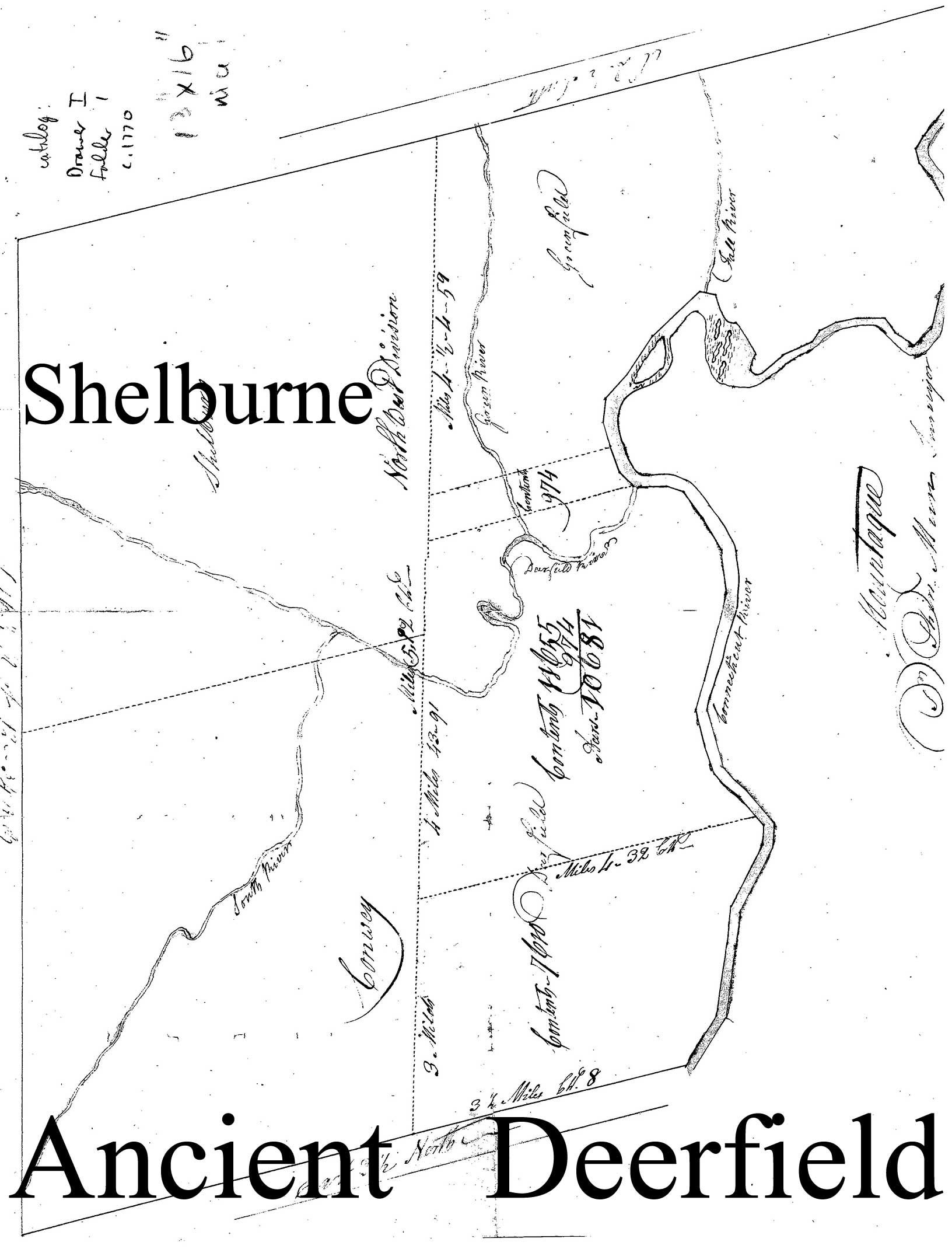
The Town of Shelburne’s historical maps can be seen on the website www.old-maps.com. This summer, Shelburne, Massachusetts is celebrating 250 years of history.
The maps range from a colonial early-1700s map of Deerfield which the town was originally a part of to modern topographical maps. Ancient Deerield included included all of modern Shelburne and Greenfield.

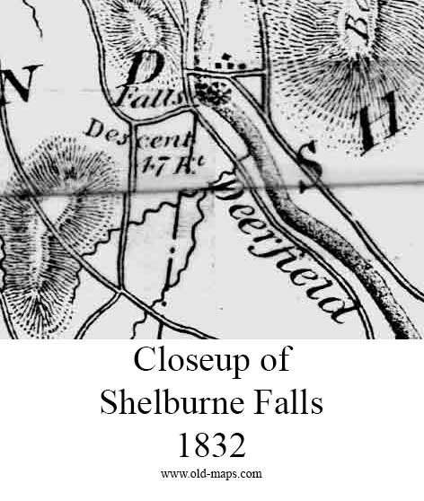
Here is a closeup from the 1832 map from the Massachusetts Archives.

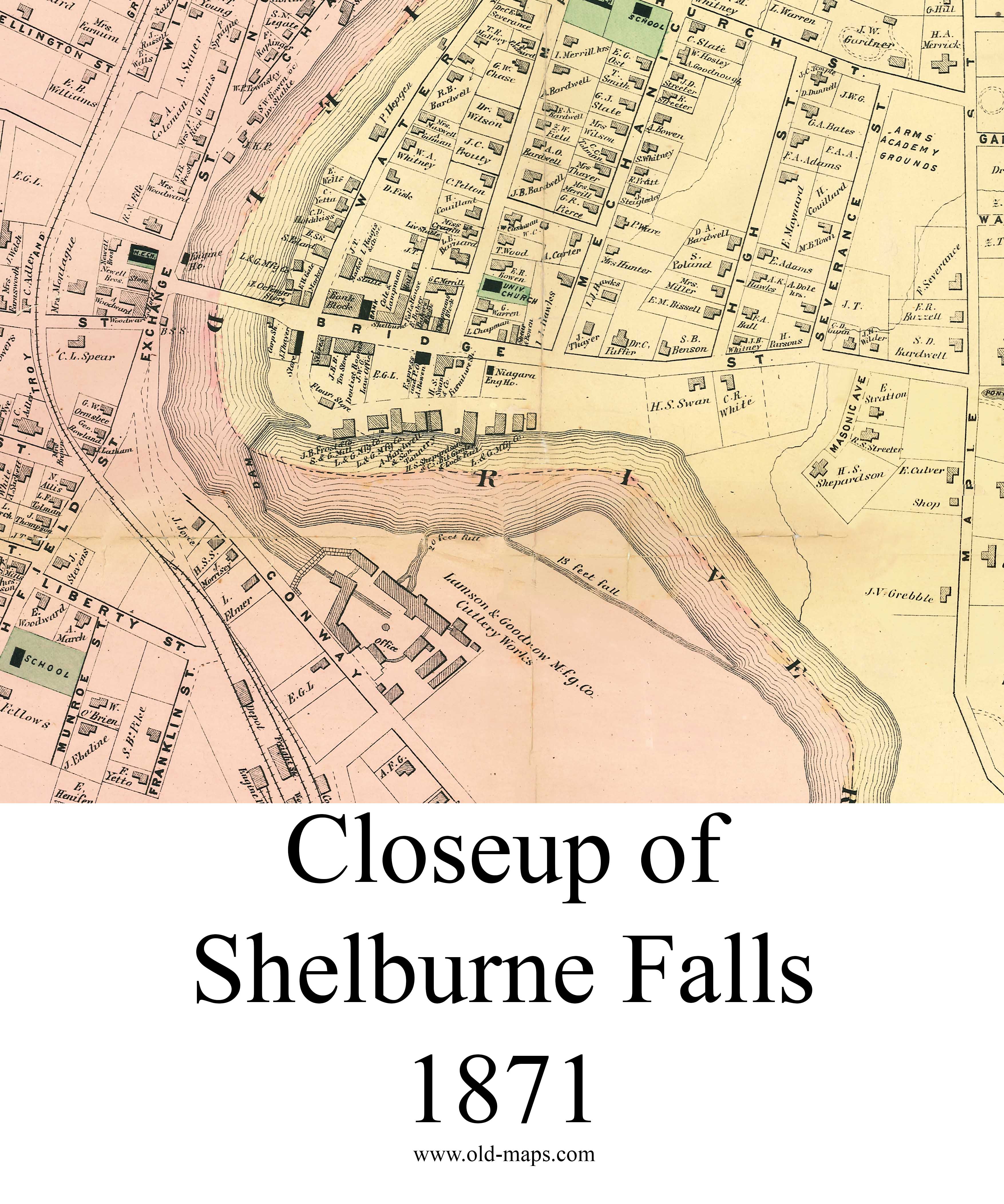
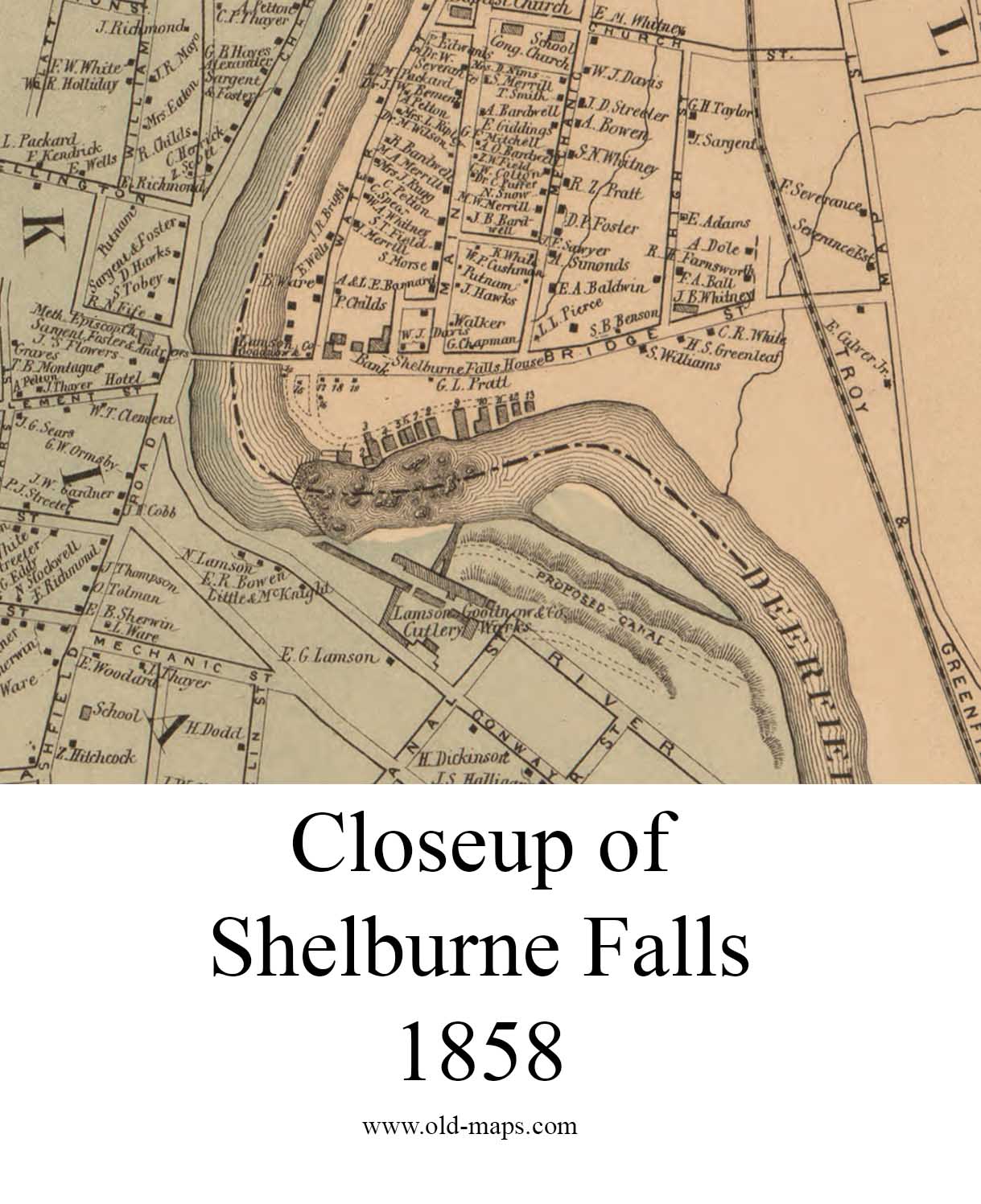
Later maps like the 1858 and 1871 maps, show homeowner names.


Low-res images can be viewed at this website link. High quality reprints are available also.
